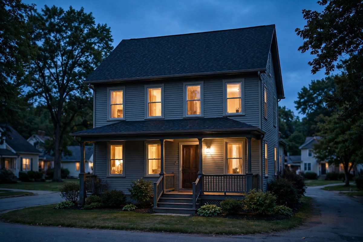
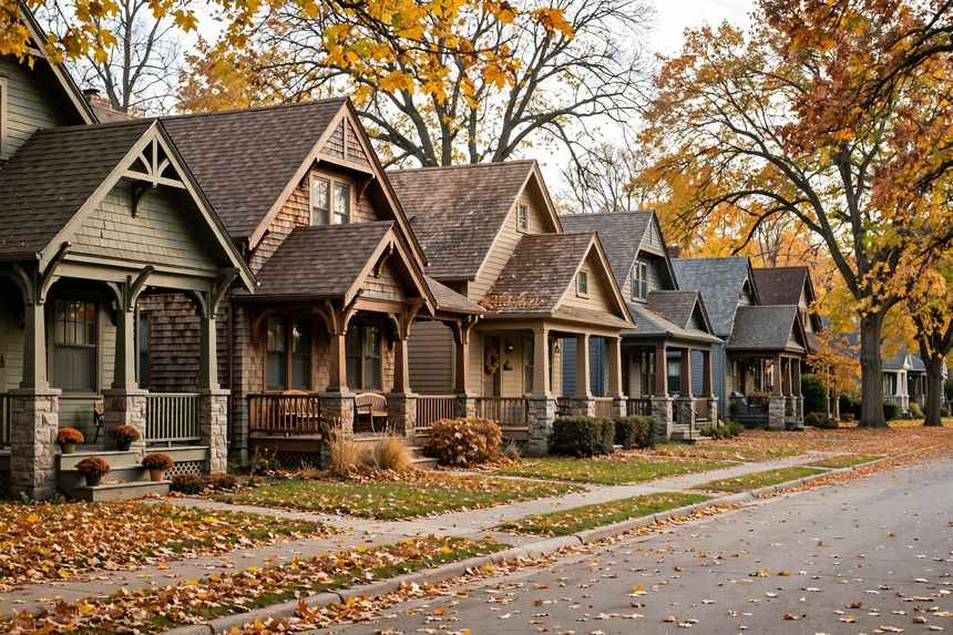
Merle Hay was annexed into Des Moines in 1890, and it is named for Private Merle David Hay, a Glidden native who served in the First World War; 58th Street was renamed Merle Hay Road for him. The first homes were built in the 1890s, and proximity to Camp Dodge shaped development before the Second World War, with Merle Hay Road brick-paved from Camp Dodge south to Douglas Avenue. The residential story, though, is postwar: a local realtor describes a lot of houses built in the 1940s and 1950s, the 2008 neighborhood plan states that the postwar stock was already more than 50 years old and showing signs of aging, with long-time homeowners cycling out, and the styles named are Arts and Crafts houses, ranch-style homes, split levels, bungalows, and Cape Cods, with a median year built of 1950 in secondary data.
The neighborhood association's current bounds are Aurora Avenue to the north, Franklin and University Avenues to the south, 51st Street, 48th Street, and 48th Place to the east, and the city limits to the west. The 2008 plan's general bounds differ in the east and south carve-outs, excluding the area between 49th and 56th Streets south of Franklin Avenue and an area north of Douglas Avenue, and this page uses the association bounds as current while noting the plan's carve-outs. Merle Hay Mall, once Iowa's largest mall, sits at Merle Hay Road and Douglas Avenue in the northern portion of the area. The mall is commercial, not housing, and the corridor material on this page is kept strictly separate from the residential material. The neighborhood is not park-rich: a neighborhood guide notes limited green space devoted to parks, with Tower Park and Riley Park as the exceptions.